
Offered by:
Shapero Gallery
105 New Bond Street
London W1S 1DN , England
Call Seller
44.207.493.0876
Showrooms
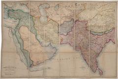
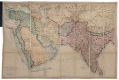
Map of the countries between Constantinople and Calcutta, by EDWARD STANFORD
-
Description
STANFORD, EDWARD.
Map of the countries between Constantinople and Calcutta,
Including Turkey In Asia, Persia, Afghanistan and Turkestan.
Stock Code 107750
London, Edward Stanford, 1899
£2,500
Covers the areas where the intrigues of 'The Great Game' were played out between Great Britain and Russia.
Hand-coloured zincograph map, (67 x 103.5 cm), dissected into 24 sheets and mounted on linen, yellow publisher's advertisements at endpapers, folding into original green boards, yellow label; a fine example. - More Information
Message from Seller:
Based in the heart of Mayfair in London, we specialise in prints and original works on paper across a broad range of subjects, from antique prints to modern pochoir plates, as well as photographs from vintage photography to modern art photography.
Sold
More Listings from Shapero Gallery View all 550 listings
-
The Works... BY Joseph CONRAD

-
Krashchomu druhovi pioneriv ta ditey Pavlovi Petrovychu BY Lev PERESHKOL'NIK
-
Fishing At Home and Abroad. by The Rt. Hon MAXWELL

-
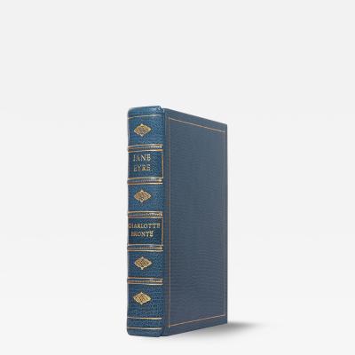
Jane Eyre: by Charlotte BRONTË
-
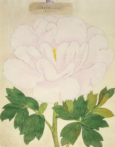
Magnificent - Japanese Peony
-
The Prime of Miss Jean Brodie. by Muriel SPARK

-
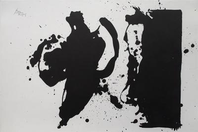
Elegy Study by Robert MOTHERWELL
-
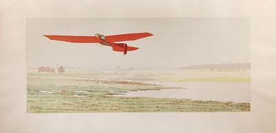
Red Aeroplane by E LEON-DUFOUR
-
A new map of the routes in India. by W. H. ALLEN

-
Anti-Umbrella with Atomized Liquid by SALVADOR DALI
-
Zodiac by AI WEIWEI
-
Pattern Makers by TUNJI ADENIYI-JONES

-
Embrace BY Eikoh HOSOE

-
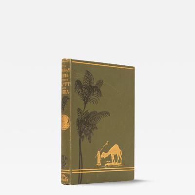
The caravan route by Ludwig SALVATOR