


Offered by:
Arader Galleries
1016 Madison Avenue
New York City, NY 10075 , United States
Call Seller
215.735.8811
Showrooms
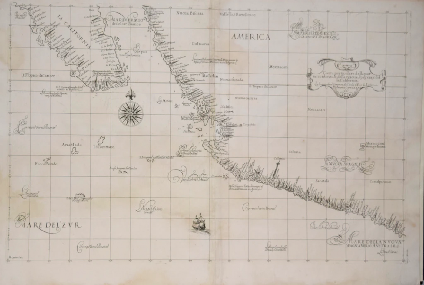
SIR ROBERT DUDLEY (1574-1649), CARTA PARTICOLARE DELLA
-
Description
Sir Robert Dudley (1574-1649)
Carta Particolare Della parte Ocidentale.. La California
From: Dell”Arcano del Mare…[Mystery of the Sea]
Published, Florence, G. Cocchini, 1661, 2nd state
Engraving by Antonio Francesco Lucini. This Chart depicts the coastal area of Southern California and Mexico
Paper size 21 3/8 x 31 ½”
p.m. 18 ? x 29 ¾” -
More Information
Documentation: Documented elsewhere (similar item) Period: Pre 18th Century Condition: Good. Creation Date: 1661 Styles / Movements: Americana, Traditional Incollect Reference #: 582378 -
Dimensions
W. 31.5 in; H. 21 in; W. 80.01 cm; H. 53.34 cm;
Message from Seller:
Founded in 1971, Arader Galleries is the leading dealer of rare maps, prints, books, and watercolors from the 16th to 19th centuries. Visit us at 1016 Madison Avenue, NYC, or contact us at 215.735.8811 | loricohen@aradergalleries.com |
More Listings from Arader Galleries View all 1350 listings
-
UNTITLED [UNIFINISHED YELLOW BIRD]

-
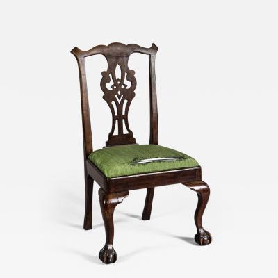
NEW YORK CHIPPENDALE SIDE CHAIR (INV. 0010)
-
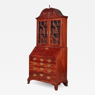
VERY FINE AND RARE CHIPPENDALE CARVED AND FIGURED MAHOGANY DESK-AND-BOOKCASE
-
THE PEOWIT FLYCATCHER APRIL 4 1836 MUSCICAPA NUNCIOLA WILS./

-
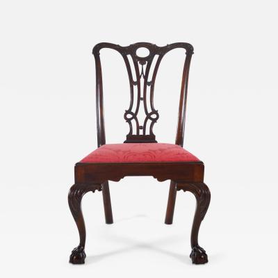
PHILADELPHIA, 1765-80, SIDE CHAIR (INV. 0357)
-
PHILADELPHIA CARD TABLE (INV. 0301)
-
NEW YORK MARLBOROUGH LEG SIDE CHAIR (INV. 0017)

-
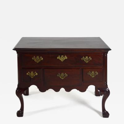
PENNSYLVANIA WALNUT TALL CHEST ON FRAME (Inv. 320)

-
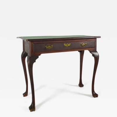
DELAWARE VALLEY DRESSING TABLE (INV. 0331)
-
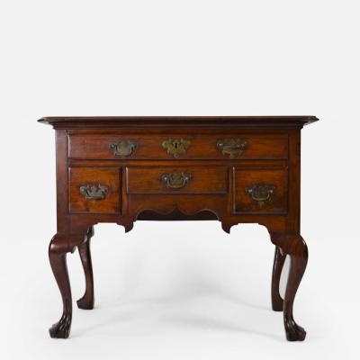
PHILADELPHIA DRESSING TABLE (INV. 0338)
-
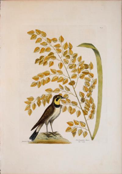
MARK CATESBY (1683-1749), T32 THE LARK, THE SEA-SIDE OAT
-
PHILADELPHIA RACKET-BACK SIDE CHAIR (INV. 0023)

-
DROP-LEAF OR DINING TABLE, NEWPORT, RHODE ISLAND, 1780-95 (INV. 0348)

-
JEAN LOUIS PREVOST (1760-1810), PLATE 20

