Listings / Fine Art / Prints / Cities & Towns
Offered by:
Shapero Gallery
105 New Bond Street
London W1S 1DN , England
Call Seller
44.207.493.0876
Showrooms
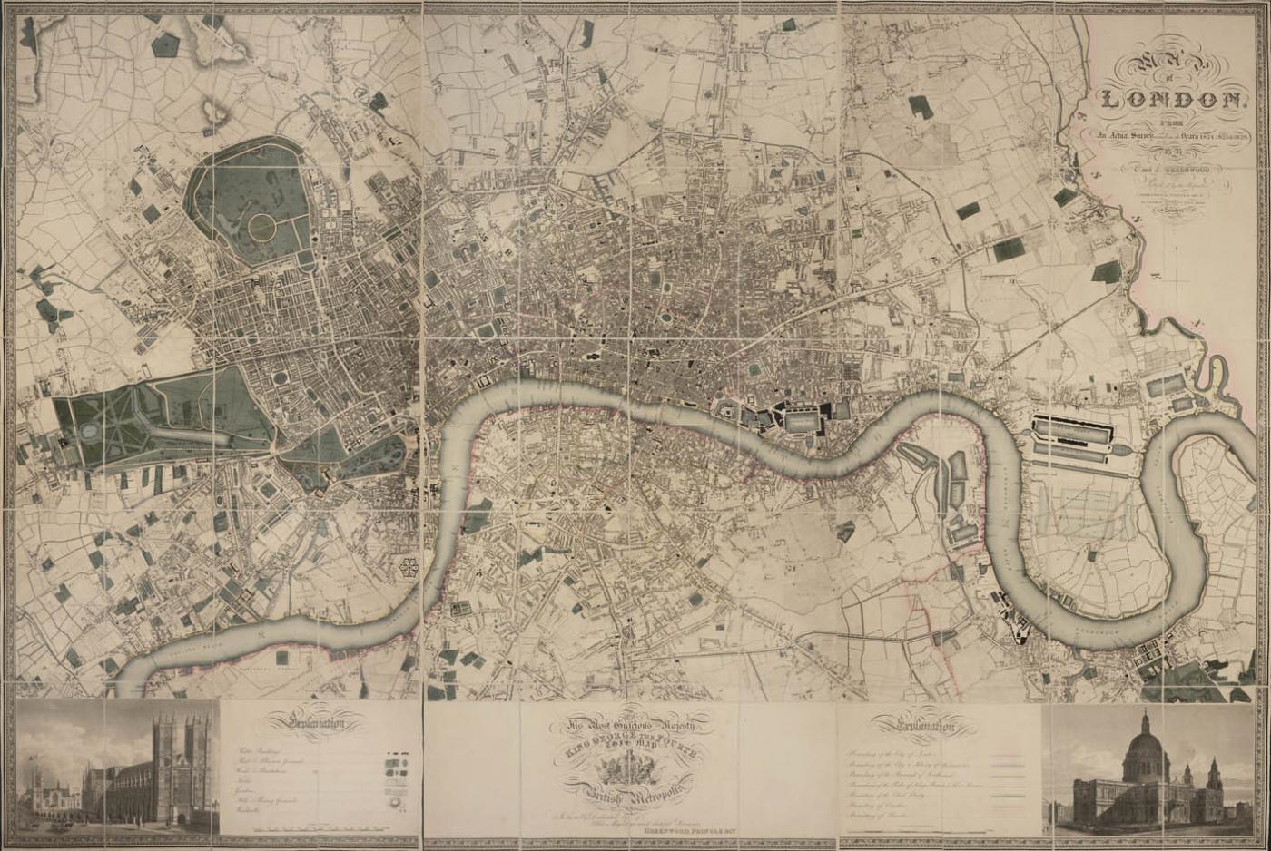
Map of London, from an actual survey made in the years 1824, 1825, & 1826.
-
Description
A lovely, fresh example of this magnificent map, beautifully engraved by James and Josiah Neele. This map was the first to be published on such a large scale, its remarkable accuracy is comparable to modern large scale maps. It was adapted from parts of the earlier Ordnance Survey maps but contained more features. Interesting details include the marked yellow roads in the parks which denote the King’s private property and which were reserved for ticket holders generously permitted entry by the monarch. London is still shown as ‘clinging to the Thames’, its lifeline, no part of the built-up area being further than a mile or two from the river, however over the next sixty years the scene was to change dramatically.
Shows Regent’s Park Zoo (1826), St Katherine’s Dock (1828), and the new General Post Office in St Martin le Grand (1829). The Canal in St James’s Park has been replaced by a lake, and buildings are being removed for the building of Trafalgar Square. Both New and Old London Bridges are shown.
Folding engraved map, hand coloured in outline, dissected and mounted on linen in 3 parts, extending from Kentish Town in the North, to Battersea in the South, from Kensington in the West to the River Lea in the East, engraved views of St Paul’s and Westminster Abbey at lower corners, engraved dedication to King George the Fourth with Royal Arms, decorative borders edged in green silk.
The piece is framed. -
More Information
Documentation: Ample Provenance Origin: England Period: 19th Century Materials: Folding engraved map, hand coloured in outline, dissected and mounted on linen in 3 parts Condition: Good. Creation Date: 1827 Styles / Movements: Realism, Victorian, Other Book References: BLMC (Shelf Maps), 15.b.17; Glanville, p.166; Howgego (London Maps), 309 (1). Dealer Reference #: 98108 Incollect Reference #: 270593 -
Dimensions
W. 74 in; H. 50.4 in; W. 187.96 cm; H. 128.02 cm;
Message from Seller:
Based in the heart of Mayfair in London, we specialise in prints and original works on paper across a broad range of subjects, from antique prints to modern pochoir plates, as well as photographs from vintage photography to modern art photography.
Sold
More Listings from Shapero Gallery View all 560 listings
-
Sartre: Romantic Rationalist. by Iris MURDOCH
-
Quatre Lithographies by Willem DE KOONING
-
The caravan route by Ludwig SALVATOR
-
The Yangtze Gorges in pictures and prose. by A. M. LE PALUD
-
Night Scene by Roy Lichtenstein
-
Fishing At Home and Abroad. by The Rt. Hon MAXWELL

-
The game of British East Africa by Capt. C. STIGAND
-
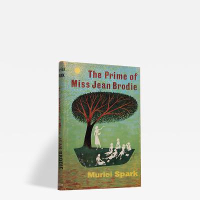
The Prime of Miss Jean Brodie. by Muriel SPARK
-
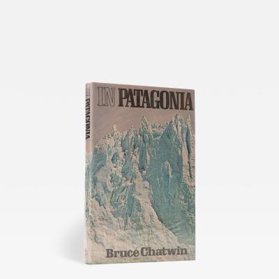
In Patagonia. by Bruce CHATWIN
-
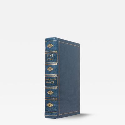
Jane Eyre: by Charlotte BRONTË
-
Visions of Cody. by Jack KEROUAC

-
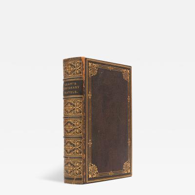
Travels, researches, and missionary labours, by Rev Dr. J. KRAPF
-
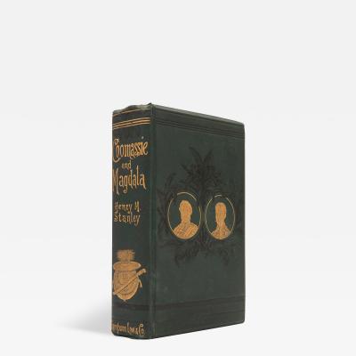
Coomassie and Magdala: by Henry Morton STANLEY
-
Untitled, from The New York Collection for Stockholm portfolio by Kenneth NOLAND