


Offered by:
Arader Galleries
1016 Madison Avenue
New York City, NY 10075 , United States
Call Seller
215.735.8811
Showrooms
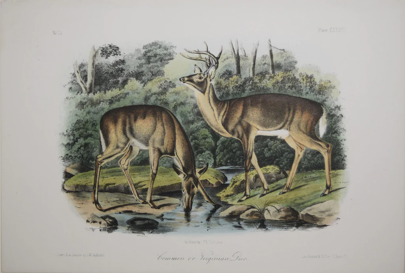
COMMON OR VIRGINIAN DEER PL. CXXXVI
-
Description
John James Audubon (1785-1851) & John Woodhouse Audubon (1812-1862)
Common or Virginian Deer Pl. CXXXVI
From The Quadrupeds of North America, Octavo edition
Published New York and Philadelphia, 1845-1871
Lithograph printed with color and finished by hand
Sheet size: approx. 7 x 10 ¼” -
More Information
Documentation: Documented elsewhere (similar item) Period: 19th Century Styles / Movements: Other Incollect Reference #: 610179 -
Dimensions
W. 10.25 in; H. 7 in; W. 26.04 cm; H. 17.78 cm;
Message from Seller:
Founded in 1971, Arader Galleries is the leading dealer of rare maps, prints, books, and watercolors from the 16th to 19th centuries. Visit us at 1016 Madison Avenue, NYC, or contact us at 215.735.8811 | loricohen@aradergalleries.com |
More Listings from Arader Galleries View all 1351 listings
-
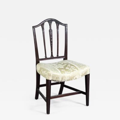
FEDERAL SADDLE-SEAT SIDE CHAIR (INV. 0024)
-
MARK CATESBY (1683-1749), T65 THE HUMMING-BIRD, THE TRUMPET-FLOWER

-
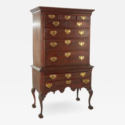
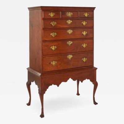
NORTHERN DELAWARE OR SOUTHEASTERN PENNSYLVANIA HIGH CHEST OF DRAWERS
-
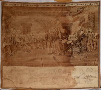
AFTER TRUMBULL & DURAND - DECLARATION OF INDEPENDENCE OF THE UNITED STATES
-
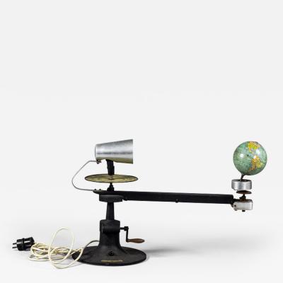
COLUMBUS VERLAG, SCHOOL TELLURIUM
-
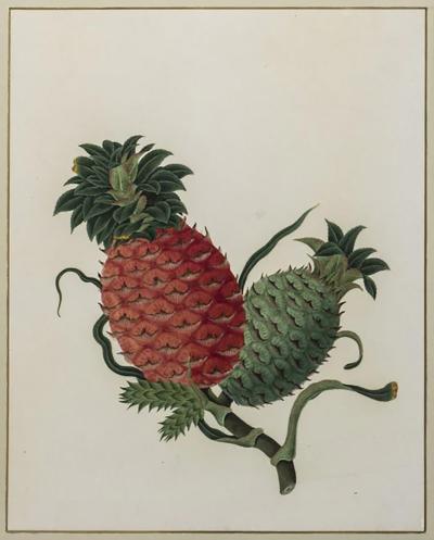
ANGLO-CHINESE SCHOOL, PINEAPPLE
-
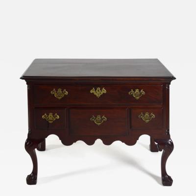
DELAWARE VALLEY DRESSING TABLE (INV. 0331)
-
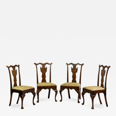
SET OF FOUR SIDE CHAIRS (INV. 0304)
-
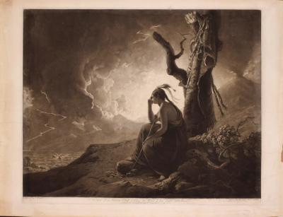
THE WIDOW OF AN INDIAN CHIEF WATCHING THE ARMS OF HER DECEASED HUSBAND
-
PHILADELPHIA WALNUT CHEST ON FRAME
-
ALEXANDER WILSON (1766-1813), SWALLOW-TAILED FLYCATCHER

-
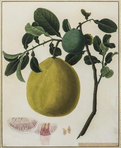
ANGLO-CHINESE SCHOOL, GRAPEFRUIT
-
NEWTON’S NEW AND IMPROVED TERRESTRIAL GLOBE

-
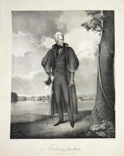
RALPH E.W EARL (AFTER) LITHOGRAPH BY BUFFORD. ANDREW JACKSON AT THE HERMITAGE