
Offered by:
Timeless Intaglio – Rare Prints, Maps & Books
By Appt.
Alamo, CA 94507 , United States
Call Seller
925.272.8170
Showrooms
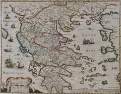
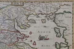
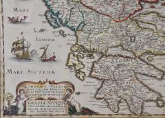
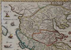
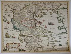
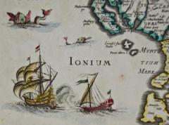
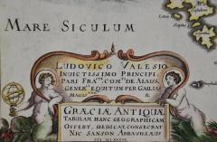
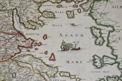
"Graeciae Antiquae", a 17th Century Hand Colored Map of Greece by Sanson
-
Description
This is an original 17th century hand colored copperplate engraved map of Greece entitled "Graeciae Antiquae Tabula Hanc Geographicam" by Nicolas d'Abbeville Sanson, engraved and published by Melchior Tavernier (1594–1665) in 1636 in Paris. The map is embellished by seven sailing ships and seven sea monsters. There is a large paper watermark.
This attractive colorful map is presented in a cream-colored mat, measuring 29.75" wide and 23.75" high. The sheet measures 22.5" wide x 16.875" high. There is a central fold, as issued. There are one and possibly two tiny spots on the left and two very faint spots in the upper right. It is otherwise in excellent condition.
Nicholas Sanson (1600-1667) was the most prominent and respected French cartographer of the 17th century. Cardinal Richelieu and King Louis XIII were patrons. He was granted the title "Ingenieur-Geographe du Roi" (Engineer-Geographer to the King).
Melchior Tavernier (1594–1665) was a successful engraver and publisher in 17th century Paris. He held the title "Graveur et Imprimeur en Taille-douce du Roi" (Engraver and Intaglio Printer to the King). -
More Information
Documentation: Documented elsewhere (similar item) Origin: France Period: Pre 18th Century Materials: Paper, Engraved Condition: Good. Wear consistent with age and use. Styles / Movements: Traditional Incollect Reference #: 589638 -
Dimensions
W. 29.75 in; H. 24.75 in; D. 0.13 in; W. 75.57 cm; H. 62.87 cm; D. 0.33 cm;
Message from Seller:
Timeless Intaglio is an online gallery of rare and collectable antiquarian prints, maps and books. Although we specialize in all forms of vintage printed works on paper, the majority were created with the intaglio method of transferring ink from a plate, usually copper, to paper with a technique utilizing pressure generated by a press. Email us directly: rbreiman@timelessintaglio.com
More Listings from Timeless Intaglio – Rare Prints, Maps & Books View all 647 listings
-
Cotton Plant: An 18th Century Hand-colored Botanical Engraving by J. Weinmann

-
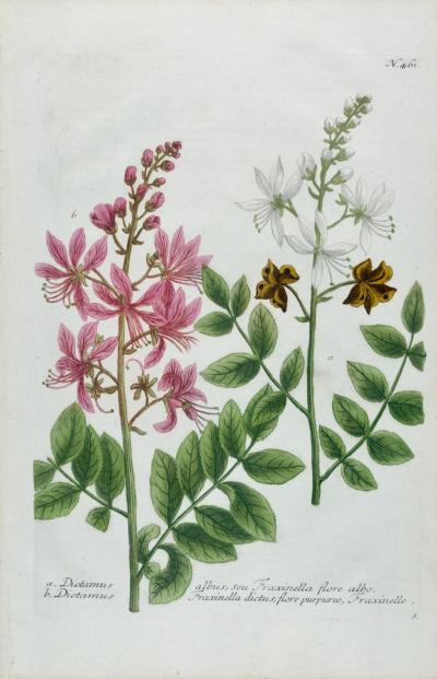
Burning Bush: An 18th Century Hand-colored Botanical Engraving by J. Weinmann
-
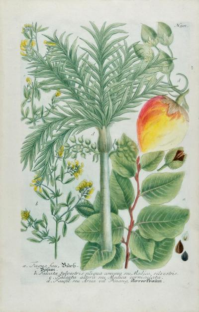
Betel Nut Palm: An 18th Century Hand-colored Botanical Engraving by J. Weinmann
-
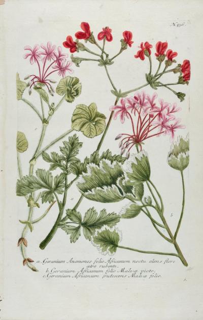
Red Geranium: An 18th Century Hand-colored Botanical Engraving by J. Weinmann
-
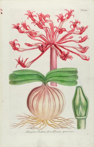
Narcissus Lily: An 18th Century Hand-colored Botanical Engraving by J. Weinmann
-
Apple: An 18th Century Hand-colored Botanical Engraving by J. Weinmann

-
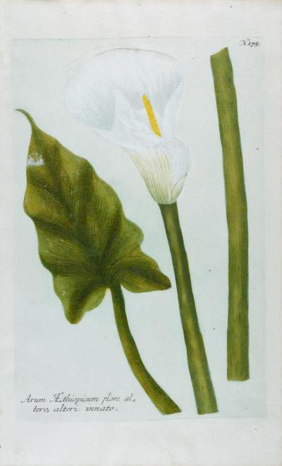
Calla Lily 2: An 18th Century Hand-colored Botanical Engraving by J. Weinmann
-
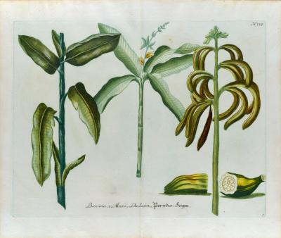
Banana Plant: An 18th Century Hand-colored Botanical Engraving by J. Weinmann

-
Banana Plants: An 18th Century Hand-colored Botanical Engraving by J. Weinmann
-
Asparagus: An 18th Century Hand-colored Botanical Engraving by J. Weinmann

-
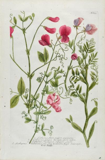
Red Sweet Pea: An 18th Century Hand-colored Botanical Engraving by J. Weinmann
-
Peacock Butterfly & Moth: A 1st Ed. Hand-colored 18th C. Engraving by M. Harris

-
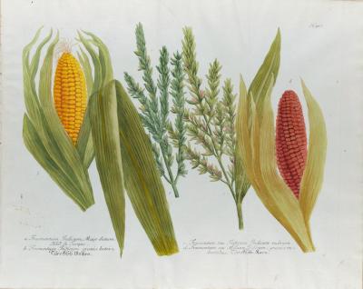
Corn, Maize: An 18th Century Hand-colored Botanical Engraving by J. Weinmann
-
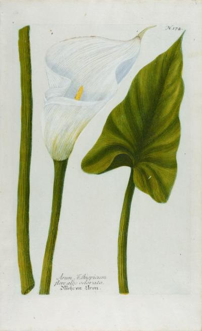
Calla Lily: An 18th Century Hand-colored Botanical Engraving by J. Weinmann