


Offered by:
Arader Galleries
1016 Madison Avenue
New York City, NY 10075 , United States
Call Seller
215.735.8811
Showrooms
MAP OF PORT ST. LOUIS FROM "LES VOYAGES DU SIEUR DE CHAMPLAIN XAINTONGEOIS
-
Description
Samuel de Champlain (1567-1635)
Map of Port St. Louis from "Les Voyages du Sieur de Champlain Xaintongeois, Capitaine ordinaire pour le Roy, en la marine"
Paris: Jean Berjon, 1613., 1613. Single sheet (image size: 4 2/8 x 5 6/8 inches, 9 x 7 inches sheet).
Exceedingly rare.
Fine engraved map of the Port of St. Louis,otherwise known as Plymouth Colony, Massachusetts, probably by David Pelletier after Champlain, showing the harbour, islands and inlet of Port St. Louis, Native American settlements, French ships, boats and landing parties, with depth soundings numbered in fathoms, a compass rose, and a scale; letterpress key below the image. Provenance: purchased from Richard B. Arkway, New York
A stunningly early engraved map,AND THE EARLIEST DETAILED MAP of Port St. Louis, or Plymouth Bay,which Champlain visited on July 18th, 1605, from the first edition of Champlain's celebrated account "Les Voyages du Sieur de Champlain Xaintongeois, Capitaine ordinaire pour le Roy, en la marine. Divisez en deux livres. Ou, Journal tres-fidele des observations faites és descouvertures de la Nouvelle France" published in Paris by Jean Berjon in 1613.
The scientific exploration and mapping of New France began with the work of Samuel de Champlain, whose exceedingly rare depictions of the American Northeast are the most important and accurate seventeenth-century maps of the vast region. Champlain based his maps on his own early discoveries in New France and New England in the early 1600s and published them to accompany the accounts of his voyages. His explorations were the first of the seventeenth century to have a major effect on contemporary cartography, and Champlain's terrestrial in the New World helped establish French possession of the area.
This important map of Port St. Louis is complete with a comprehensive key that Patricia Scott Deetz and Christopher Fennell of the Plymouth Colony Archive Project have provided the following interpretation to: A. 'Anchorage,' with his pinnace; B. 'The Channel'(to the inner harbor); C. 'Two Islands' (Clark Island, where members of the third exploration party spent their first night ashore in 1620, and Sasquish Head); D. 'Sand Dunes' (stretching along Duxbury Beach to the Gurnet); E. 'Mud Flats' and a much foreshortened Duxbury Bay; F. 'Cabins where the savages till the soil.', G. 'Spot where our pinnace ran aground' (Brown's Bank, adjacent to Long Beach). H. 'The Gurnet.' -
More Information
Documentation: Documented elsewhere (similar item) Period: Pre 18th Century Styles / Movements: Traditional Incollect Reference #: 589013
Message from Seller:
Founded in 1971, Arader Galleries is the leading dealer of rare maps, prints, books, and watercolors from the 16th to 19th centuries. Visit us at 1016 Madison Avenue, NYC, or contact us at 215.735.8811 | loricohen@aradergalleries.com |
More Listings from Arader Galleries View all 1350 listings
-
AERT SCHOUMAN (DUTCH, 1710-1792), THREE BIRDS ON A BRANCH

-
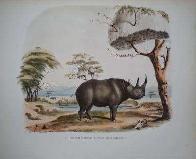
CAPTAIN W. CORNWALLIS HARRIS (1807-1848), PLATE XVI THE AFRICAN RHINOCEROS
-
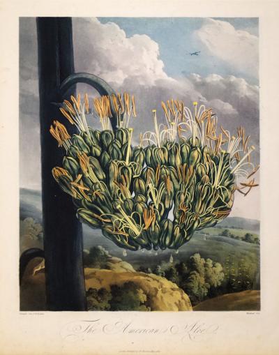
ROBERT JOHN THORNTON (1768-1837), THE AMERICAN ALOE
-
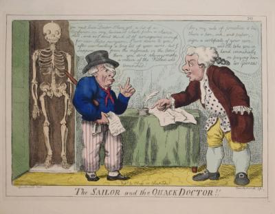
GEORGE CRUIKSHANK (1792-1878), THE SAILOR AND THE QUACK DOCTOR!!
-
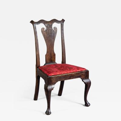
QUEEN ANNE SIDE CHAIR (INV. 0019)
-
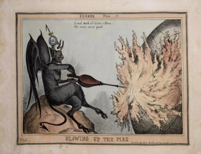
[UNKNOWN], BLOWING UP THE FIRE
-
JOHN C. MCRAE, GEORGE WASHINGTON

-
ADRIEN DE MONTIGNY (FRENCH, C1570-1615), BAGIMONT

-
NEW YORK MAHOGANY SIDE CHAIR (INV. 0322)

-
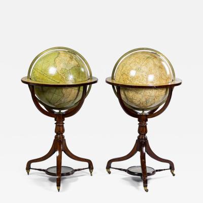
SMITH’S TERRESTRIAL GLOBE; SMITH’S CELESTIAL GLOBE
-
US GOVERNMENT PRINTING OFFICE, CAN ALL YOU CAN

-
AERT SCHOUMAN (DUTCH, 1710-1792), A SKIMMER AND A DOVE ON THE SEA SHORE

-
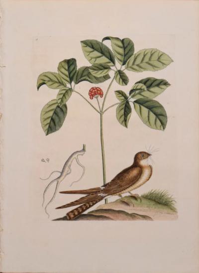
MARK CATESBY (1683-1749), T 16- THE WHIP-POOR-WILL
-
DROP-LEAF OR DINING TABLE, NEWPORT, RHODE ISLAND, 1780-95 (INV. 0348)

