


Offered by:
Arader Galleries
1016 Madison Avenue
New York City, NY 10075 , United States
Call Seller
215.735.8811
Showrooms
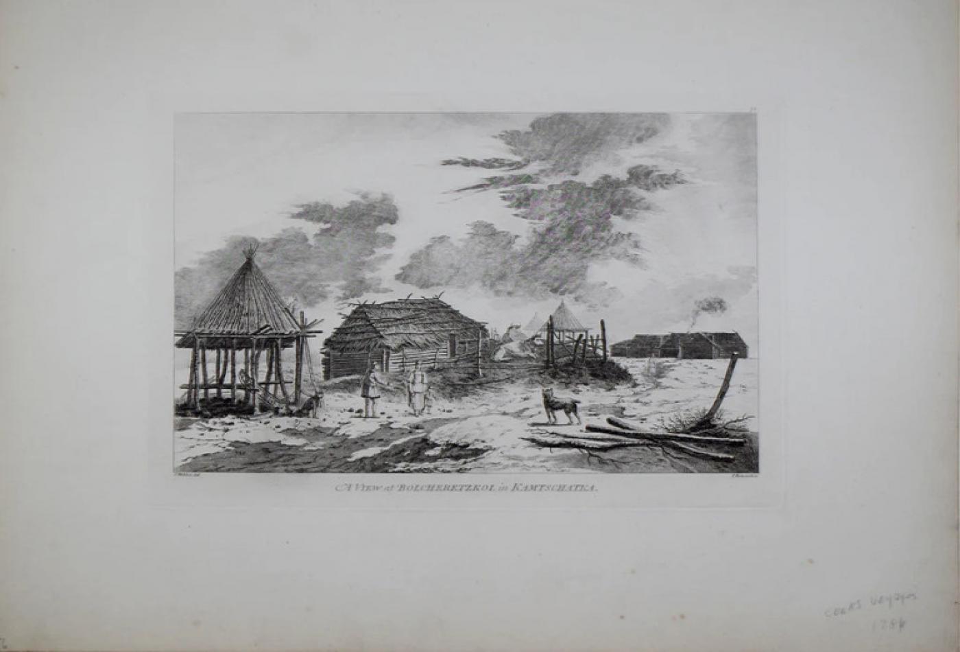
A VIEW AT BOLCHERETZKOI
-
Description
Captain James Cook (1728-1729) and John Webber (1751-1793)
A View at Bolcheretzkoi
From A Voyage to the Pacific Ocean. Undertaken, by the Command of his Majesty, for making Discoveries in the Northern Hemisphere to determine The Position and Extent of the West Side of North America; its Distance from Asia; and the Practicability of a Northern Passage to Europe . . . In Three Volumes. Vol I and II written by Captain James Cook, F.R.S. Vol. III by Captain James King, LL.D. and F.R.S.
London, 1784
Engravings
Sheet size: 16 1/2 x 22 1/4" -
More Information
Documentation: Documented elsewhere (similar item) Period: 18th Century Condition: Good. Styles / Movements: Traditional Incollect Reference #: 649027 -
Dimensions
W. 22.25 in; H. 16.5 in; W. 56.52 cm; H. 41.91 cm;
Message from Seller:
Founded in 1971, Arader Galleries is the leading dealer of rare maps, prints, books, and watercolors from the 16th to 19th centuries. Visit us at 1016 Madison Avenue, NYC, or contact us at 215.735.8811 | loricohen@aradergalleries.com |
More Listings from Arader Galleries View all 1330 listings
-
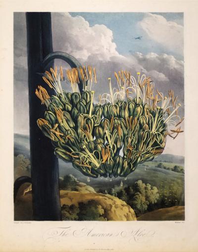
ROBERT JOHN THORNTON (1768-1837), THE AMERICAN ALOE
-
ADRIEN DE MONTIGNY (FRENCH, C1570-1615), BAGIMONT

-
US GOVERNMENT PRINTING OFFICE, CAN ALL YOU CAN

-
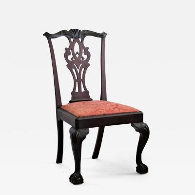
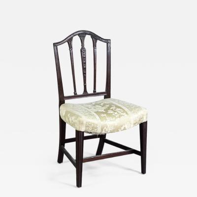
NEW YORK MAHOGANY SIDE CHAIR (INV. 0322)
-
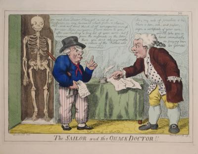
GEORGE CRUIKSHANK (1792-1878), THE SAILOR AND THE QUACK DOCTOR!!
-
JOHN C. MCRAE, GEORGE WASHINGTON

-
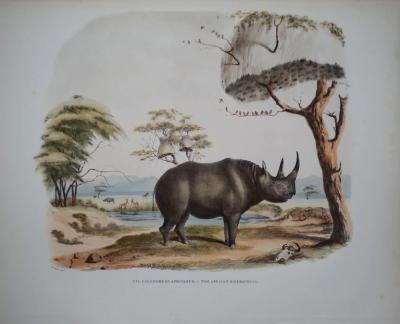
CAPTAIN W. CORNWALLIS HARRIS (1807-1848), PLATE XVI THE AFRICAN RHINOCEROS
-
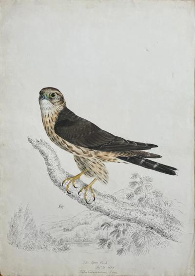
THE PIGEON HAWK SEPT 21 1834 FALCO COLUMBARIUS LINN.
-
FEDERAL SADDLE-SEAT SIDE CHAIR (INV. 0024)
-
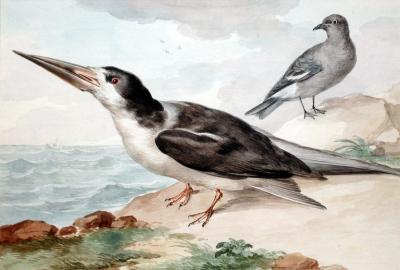
AERT SCHOUMAN (DUTCH, 1710-1792), A SKIMMER AND A DOVE ON THE SEA SHORE
-
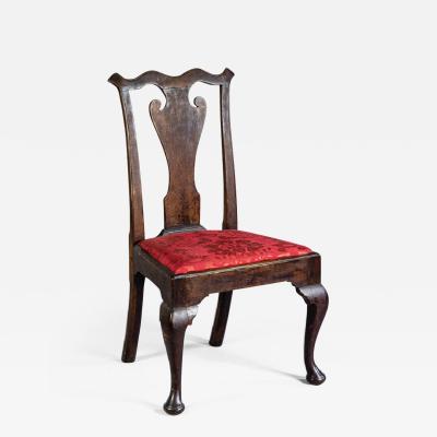
QUEEN ANNE SIDE CHAIR (INV. 0019)
-
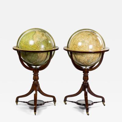
SMITH’S TERRESTRIAL GLOBE; SMITH’S CELESTIAL GLOBE
-
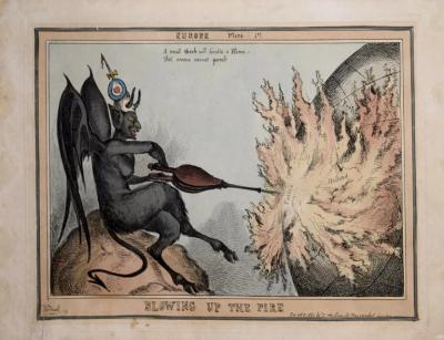
[UNKNOWN], BLOWING UP THE FIRE
-
MARK CATESBY (1683-1749), T 16- THE WHIP-POOR-WILL