


Offered by:
Arader Galleries
1016 Madison Avenue
New York City, NY 10075 , United States
Call Seller
215.735.8811
Showrooms
DUTCH SCHOOL (17TH CENTURY)
-
Description
Dutch School (17TH CENTURY)
A Thornback Ray
Pen and gray ink and watercolor, heightened with white
Paper size: 5 ¼ x 7 ½ in.
Provenance: With F.A.C. Prestel, Frankfurt, before 1908 (L.2730)
This drawing and the following lot belong to a long-standing Dutch tradition of natural history drawing. Not surprisingly, given the great Dutch maritime tradition and dependence on the sea, depictions of fish have always been popular with Dutch artists, from the very beginning of the 17th century. A celebrated example is Hendrik Goltzius’ spectacular drawing of a John Dory, in the Teylers Museum, Haarlem, and fine drawings of fish by Adriaan Matham, rather similar in style to this, also featured in the encyclopedic drawing collections of Laurens van der Hem. -
More Information
Period: 19th Century Condition: Good. Styles / Movements: Other Incollect Reference #: 639245
Message from Seller:
Founded in 1971, Arader Galleries is the leading dealer of rare maps, prints, books, and watercolors from the 16th to 19th centuries. Visit us at 1016 Madison Avenue, NYC, or contact us at 215.735.8811 | loricohen@aradergalleries.com |
More Listings from Arader Galleries View all 1343 listings
-
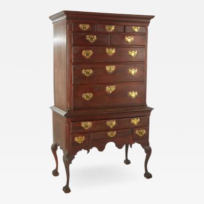
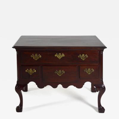
NORTHERN DELAWARE OR SOUTHEASTERN PENNSYLVANIA HIGH CHEST OF DRAWERS
-
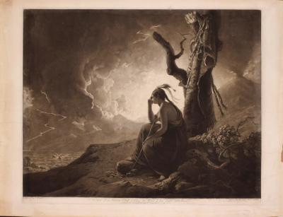
THE WIDOW OF AN INDIAN CHIEF WATCHING THE ARMS OF HER DECEASED HUSBAND
-
DELAWARE VALLEY, 1760-90, DROP-LEAF OR DINING TABLE (INV. 0355)

-
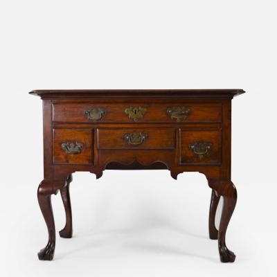
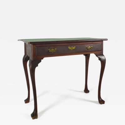
DELAWARE VALLEY DRESSING TABLE (INV. 0331)
-
DROP-LEAF OR DINING TABLE, NEWPORT, RHODE ISLAND, 1780-95 (INV. 0348)

-
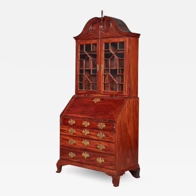
VERY FINE AND RARE CHIPPENDALE CARVED AND FIGURED MAHOGANY DESK-AND-BOOKCASE
-
PHILADELPHIA WALNUT CHEST ON FRAME
-
PHILADELPHIA DRESSING TABLE (INV. 0338)
-
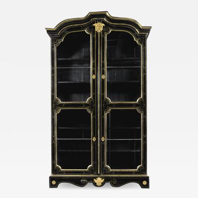
A LOUIS XIV ORMOLU-MOUNTED AND BRASS-INLAID EBONIZED BOOKCASE
-
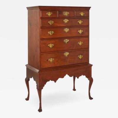
PENNSYLVANIA WALNUT TALL CHEST ON FRAME (Inv. 320)

-
PHILADELPHIA CARD TABLE (INV. 0301)
-
PHILADELPHIA DRESSING TABLE (INV. 0327)

-
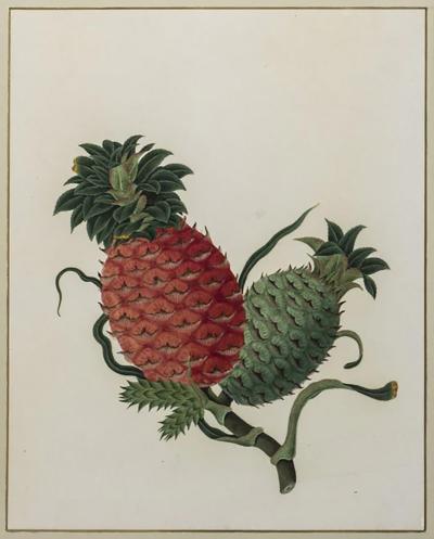
ANGLO-CHINESE SCHOOL, PINEAPPLE
-
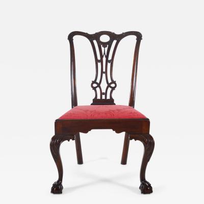
PHILADELPHIA, 1765-80, SIDE CHAIR (INV. 0357)