


Offered by:
Arader Galleries
1016 Madison Avenue
New York City, NY 10075 , United States
Call Seller
215.735.8811
Showrooms
EDOUARD TRAVIES (1809-1865), LA PERRUCHE A LONGS BRINS
-
Description
Edouard Travies (1809-1865)
La Perruche a longs brins
From Les Oiseaux Les Plus Remarkables Par Leurs Formes et Leurs Couleurs. Scenes variees de leurs moeurs & de leurs habitudes
Paris: Ledot aine (or Berrieux) and London: E. Gambert & Co. (or Victor Delarue), ca. 1857
Lithographs with original hand-coloring
Sheet size: 21 ½ x 15 ¼” -
More Information
Documentation: Documented elsewhere (similar item) Period: 19th Century Condition: Good. Styles / Movements: Other Incollect Reference #: 670880 -
Dimensions
W. 15.25 in; H. 21.5 in; W. 38.74 cm; H. 54.61 cm;
Message from Seller:
Founded in 1971, Arader Galleries is the leading dealer of rare maps, prints, books, and watercolors from the 16th to 19th centuries. Visit us at 1016 Madison Avenue, NYC, or contact us at 215.735.8811 | loricohen@aradergalleries.com |
More Listings from Arader Galleries View all 1351 listings
-
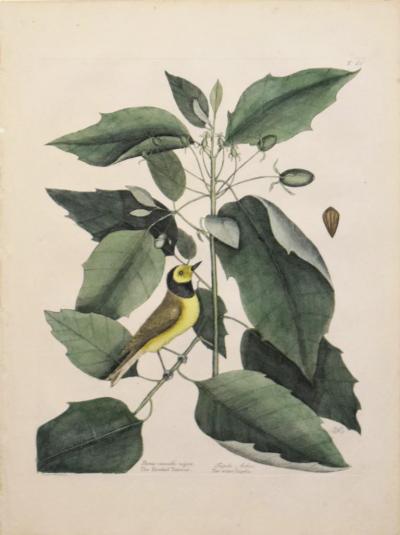
MARK CATESBY (1683-1749), T 60- THE HOODED TITMOUSE
-
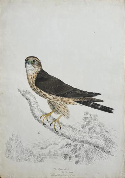
THE PIGEON HAWK SEPT 21 1834 FALCO COLUMBARIUS LINN.
-
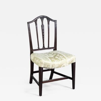
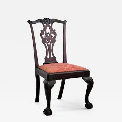
FEDERAL SADDLE-SEAT SIDE CHAIR (INV. 0024)
-
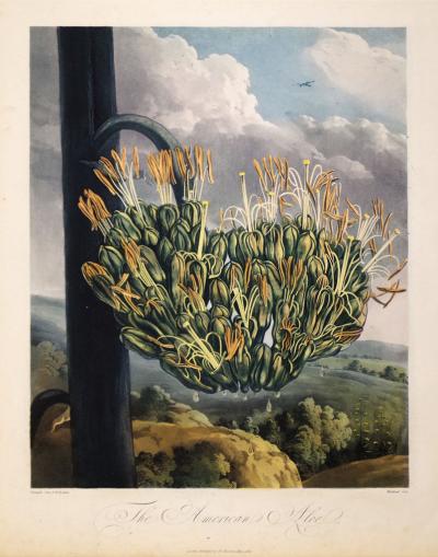
ROBERT JOHN THORNTON (1768-1837), THE AMERICAN ALOE
-
DROP-LEAF OR DINING TABLE, NEWPORT, RHODE ISLAND, 1780-95 (INV. 0348)

-
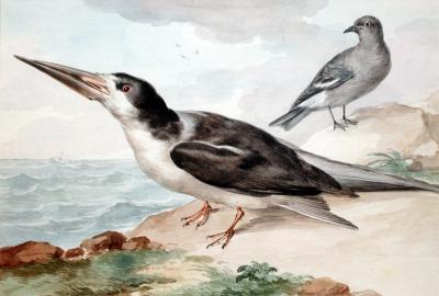
AERT SCHOUMAN (DUTCH, 1710-1792), A SKIMMER AND A DOVE ON THE SEA SHORE
-
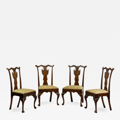
SET OF FOUR SIDE CHAIRS (INV. 0304)
-
NEW YORK MAHOGANY SIDE CHAIR (INV. 0322)
-
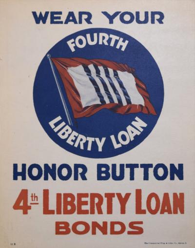
UNITED STATES DEPARTMENT OF THE TREASURY, WEAR YOUR HONOR BUTTON
-
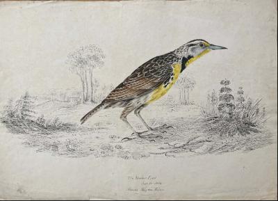
THE MEADOWLARK JUNE 16 1834 ALANDA MAITNA WILLS
-
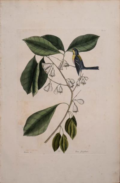
MARK CATESBY (1683-1749), T 64-THE FINCH-CREEPER
-
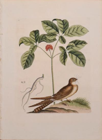
MARK CATESBY (1683-1749), T 16- THE WHIP-POOR-WILL
-
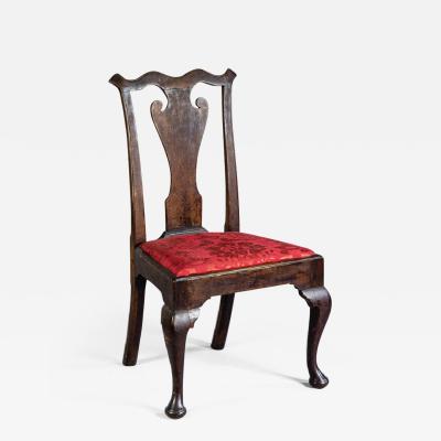
QUEEN ANNE SIDE CHAIR (INV. 0019)
-
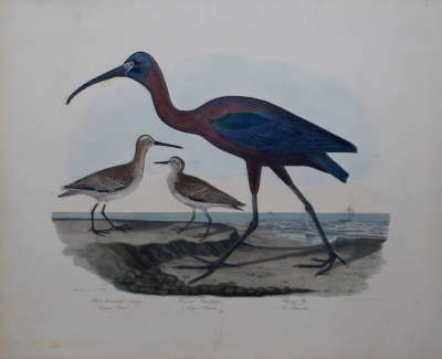
ALEXANDER WILSON (1766-1813), RED BREASTED SNIPE