


Offered by:
Arader Galleries
1016 Madison Avenue
New York City, NY 10075 , United States
Call Seller
215.735.8811
Showrooms
PHILADELPHIA WALNUT CHEST ON FRAME
-
Description
Chest on Frame
Philadelphia area or western New Jersey, 1750-1785
Walnut; white cedar drawer bottoms, tulip poplar drawer sides, hard pine backs of small drawers and top large drawer and left side of second large drawer from the bottom
65-1/8 x 41-3/4 x 23-3/4
(Inv. 0318) -
More Information
Period: Pre 18th Century Condition: Good. Styles / Movements: Traditional Incollect Reference #: 577236
Message from Seller:
Founded in 1971, Arader Galleries is the leading dealer of rare maps, prints, books, and watercolors from the 16th to 19th centuries. Visit us at 1016 Madison Avenue, NYC, or contact us at 215.735.8811 | loricohen@aradergalleries.com |
More Listings from Arader Galleries View all 1351 listings
-
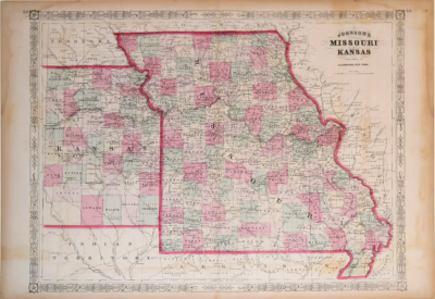
ALVIN JEWETT JOHNSON (AMERICAN, 1827 - 1884), JOHNSON’S MISSOURI AND KANSAS
-
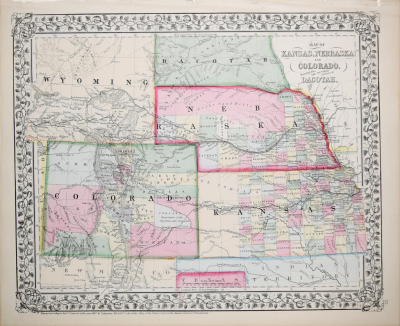
MAP OF KANSAS, NEBRASKA, COLORADO, SHOWING ALSO THE SOUTHERN PORTIONS OF DACOTAH
-
CRUSTACES ETANGERS GONOPLEX MARACOANI...

-
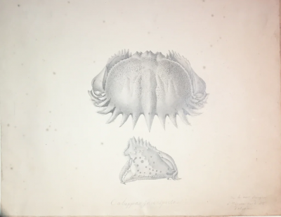
CALUPPA INCONSPECTRA...
-
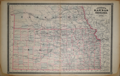
ALVIN JOHNSON & CO., JOHNSON'S KANSAS AND NEBRASKA
-
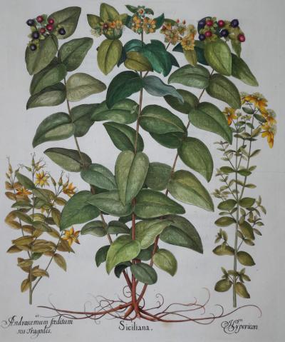
BASILIUS BESLER (1561-1629), SICILIANA
-
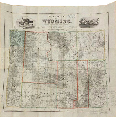
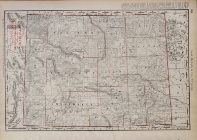
HOLT'S NEW MAP OF WYOMING. COMPILED BY PERMISSION FROM OFFICIAL RECORDS
-
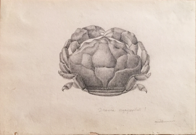
DRONIA OEGAGROPILUS. MEDITERRANAE
-
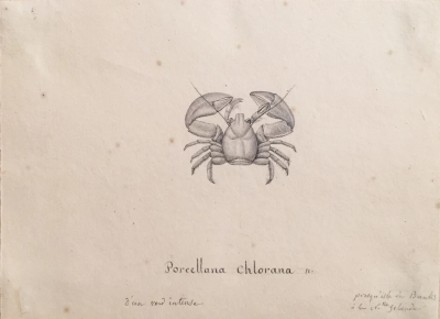
PORCELLANA CHLORANA PRORQ EN’ISLE DU BANKS DE LA N. GRENADA
-
RAND MCNALLY, WYOMING RAILROADS…
-
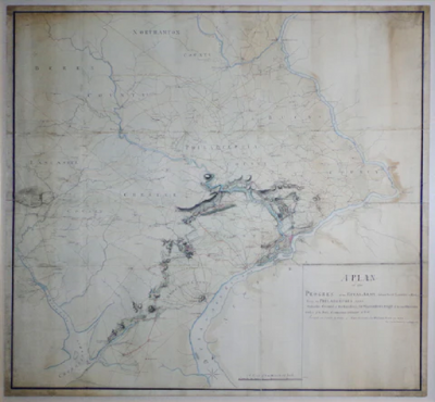
A PLAN OF THE PROGRESS OF THE ROYAL ARMY FROM THEIR LANDING
-
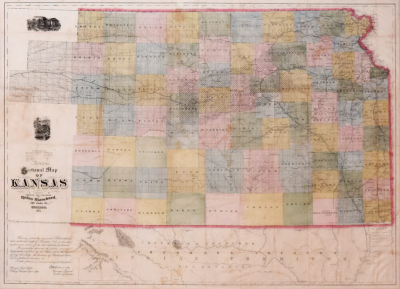
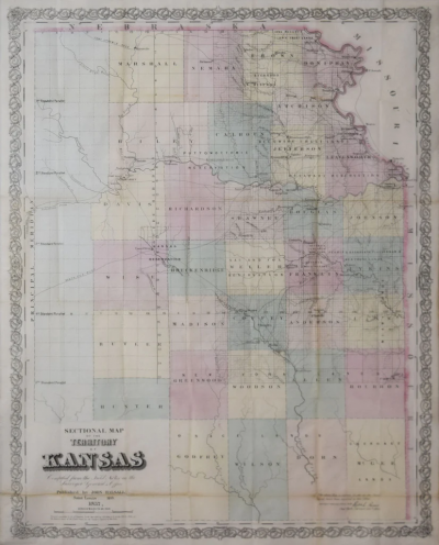
JOHN HALSALL, SECTIONAL MAP OF THE TERRITORY OF KANSAS...
-
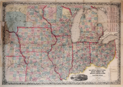
GUIDE THROUGH OHIO, MICHIGAN, INDIANA, ILLINOIS, MISSOURI, WISCONSIN
-
RUFUS BLANCHARD (1821-1904), SECTIONAL MAP OF KANSAS