


Offered by:
Arader Galleries
1016 Madison Avenue
New York City, NY 10075 , United States
Call Seller
215.735.8811
Showrooms
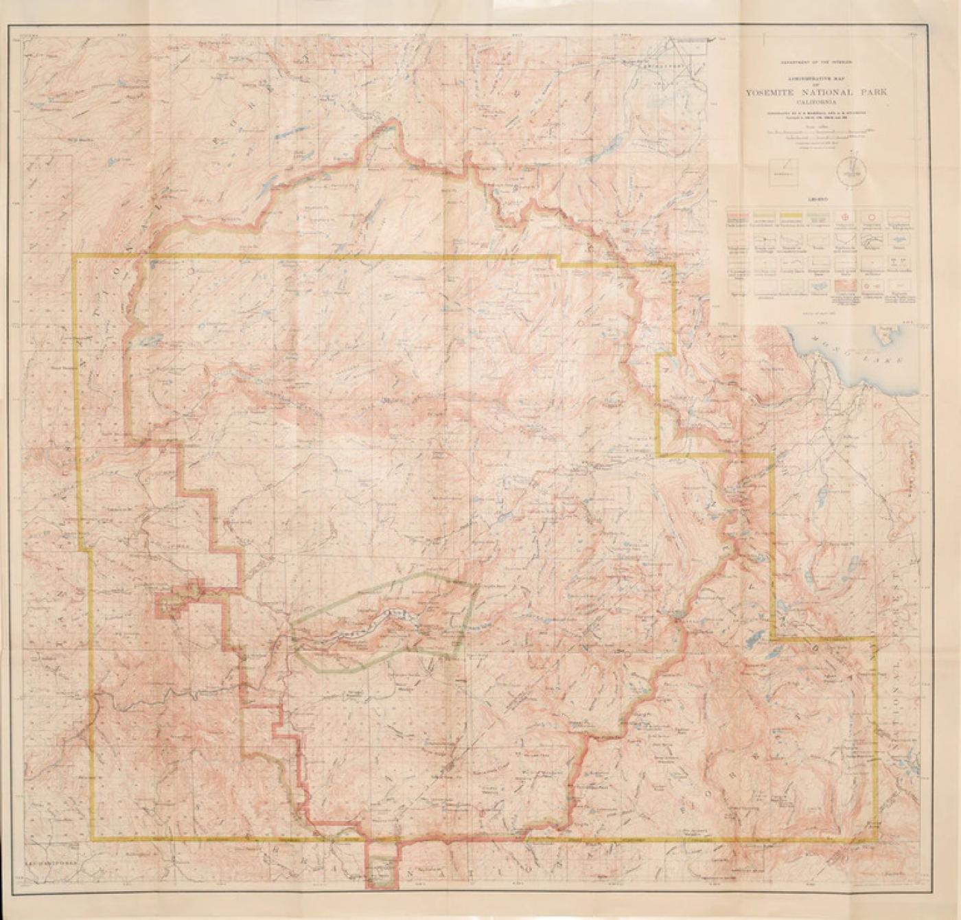
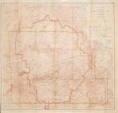
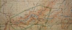
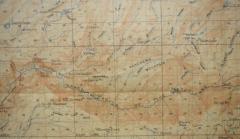
DEPARTMENT OF THE INTERIOR, ADMINISTRATIVE MAP OF YOSEMITE NATIONAL PARK
-
Description
Department of the Interior
Administrative Map of Yosemite National Park, Edition of 1910, [California, Maricopa County]
Topography by R.B. Marshall and Albert Hale Sylvester, Surveyed 1893-94, 1896, 1896-99 and 1906
Engraved and printed by the U.S. Geological Survey, Washington, D.C. edition of 1910
Includes a key upper right noting such items as Park limits, Outposts established, Roads and Buildings, Trails, Reservation Lines etc.
Color printed lithograph
Paper size 28 7/8 x 29 3/4"
Image size 27 1/8 x 28 5/8" -
More Information
Period: 1900-1919 Condition: Good. Styles / Movements: Traditional Incollect Reference #: 670820 -
Dimensions
W. 28.675 in; H. 29.75 in; W. 72.83 cm; H. 75.57 cm;
Message from Seller:
Founded in 1971, Arader Galleries is the leading dealer of rare maps, prints, books, and watercolors from the 16th to 19th centuries. Visit us at 1016 Madison Avenue, NYC, or contact us at 215.735.8811 | loricohen@aradergalleries.com |
More Listings from Arader Galleries View all 1330 listings
-
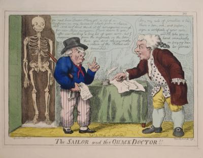
GEORGE CRUIKSHANK (1792-1878), THE SAILOR AND THE QUACK DOCTOR!!
-
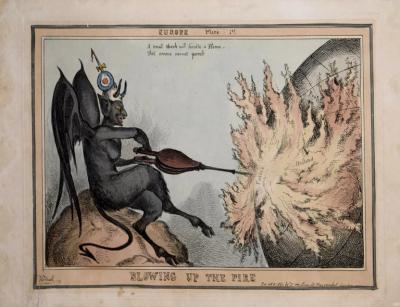
[UNKNOWN], BLOWING UP THE FIRE
-
AERT SCHOUMAN (DUTCH, 1710-1792), A SKIMMER AND A DOVE ON THE SEA SHORE

-
US GOVERNMENT PRINTING OFFICE, CAN ALL YOU CAN

-
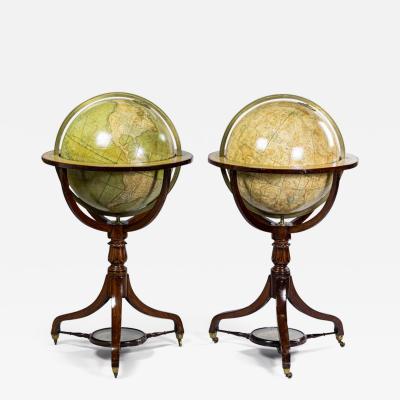
SMITH’S TERRESTRIAL GLOBE; SMITH’S CELESTIAL GLOBE
-
QUEEN ANNE SIDE CHAIR (INV. 0019)

-
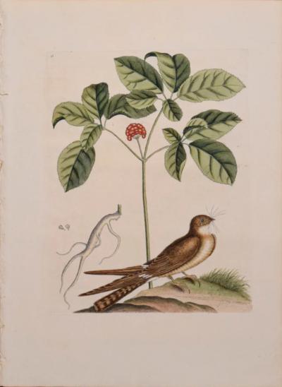
MARK CATESBY (1683-1749), T 16- THE WHIP-POOR-WILL
-
AERT SCHOUMAN (DUTCH, 1710-1792), THREE BIRDS ON A BRANCH

-
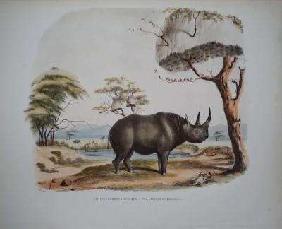
CAPTAIN W. CORNWALLIS HARRIS (1807-1848), PLATE XVI THE AFRICAN RHINOCEROS
-
JOHN C. MCRAE, GEORGE WASHINGTON

-
FEDERAL SADDLE-SEAT SIDE CHAIR (INV. 0024)

-
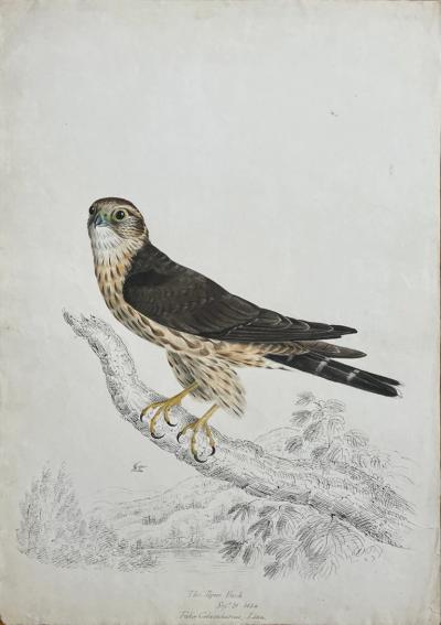
THE PIGEON HAWK SEPT 21 1834 FALCO COLUMBARIUS LINN.
-
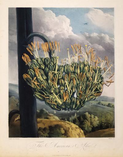
ROBERT JOHN THORNTON (1768-1837), THE AMERICAN ALOE
-
ADRIEN DE MONTIGNY (FRENCH, C1570-1615), BAGIMONT

