


Offered by:
Arader Galleries
1016 Madison Avenue
New York City, NY 10075 , United States
Call Seller
215.735.8811
Showrooms
PERUVIAE AURIFERAE REGIONIS TYPUS/ LA FLORIDA/GUAS TECAN
-
Description
Abraham Ortelius (Flemish, 1527-1598)
Peruviae Auriferae Regionis Typus/ La Florida/Guas Tecan {Northern South America, Southern United States with Florida and Gulf of Mexico]
From: Theatrum Orbis Terrarum
Published, Antwerp, ca. 1592-1601, Latin text, Pl. 9 and Cuxi on verso
Engraving with original hand-coloring
First map to show the results of Hernando de Soto’s expedition and first printed map of the Southern United States
Paper size 16 ½ x 21”, p.m. 13 ? x 18 ¼”
Ref: van de Broecke, Marcel P. R., Oretlius Atlas Maps, #15 -
More Information
Documentation: Documented elsewhere (similar item) Period: Pre 18th Century Condition: Good. Styles / Movements: Traditional Incollect Reference #: 667814 -
Dimensions
W. 21 in; H. 16.5 in; W. 53.34 cm; H. 41.91 cm;
Message from Seller:
Founded in 1971, Arader Galleries is the leading dealer of rare maps, prints, books, and watercolors from the 16th to 19th centuries. Visit us at 1016 Madison Avenue, NYC, or contact us at 215.735.8811 | loricohen@aradergalleries.com |
More Listings from Arader Galleries View all 1350 listings
-
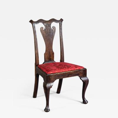
QUEEN ANNE SIDE CHAIR (INV. 0019)
-
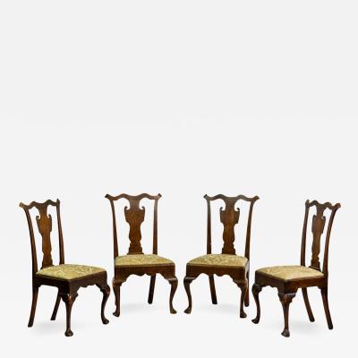
SET OF FOUR SIDE CHAIRS (INV. 0304)
-
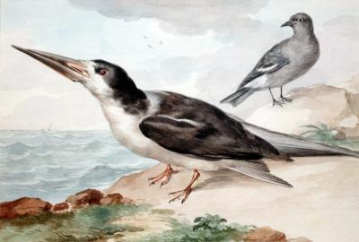
AERT SCHOUMAN (DUTCH, 1710-1792), A SKIMMER AND A DOVE ON THE SEA SHORE
-
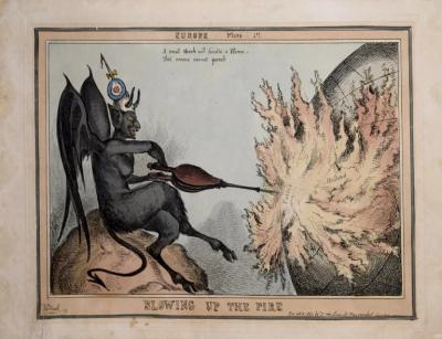
[UNKNOWN], BLOWING UP THE FIRE
-
ADRIEN DE MONTIGNY (FRENCH, C1570-1615), BAGIMONT

-
DROP-LEAF OR DINING TABLE, NEWPORT, RHODE ISLAND, 1780-95 (INV. 0348)

-
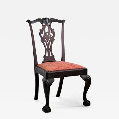
NEW YORK MAHOGANY SIDE CHAIR (INV. 0322)
-
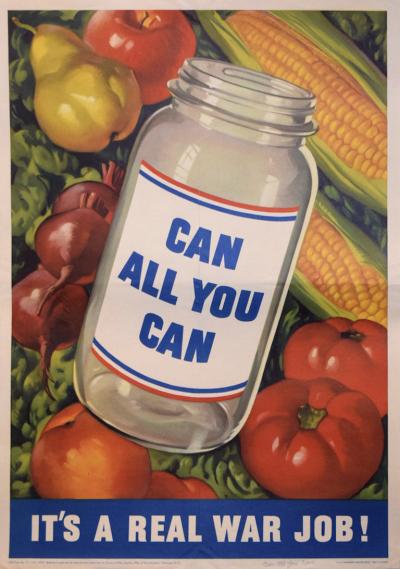
US GOVERNMENT PRINTING OFFICE, CAN ALL YOU CAN
-
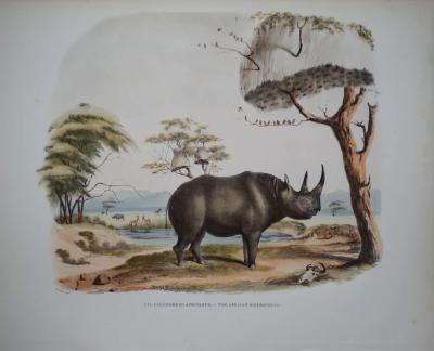
CAPTAIN W. CORNWALLIS HARRIS (1807-1848), PLATE XVI THE AFRICAN RHINOCEROS
-
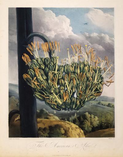
ROBERT JOHN THORNTON (1768-1837), THE AMERICAN ALOE
-
JOHN C. MCRAE, GEORGE WASHINGTON

-
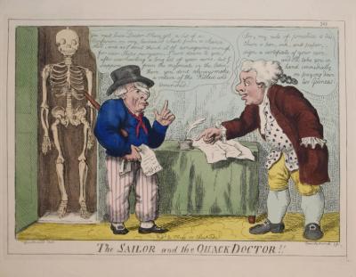
GEORGE CRUIKSHANK (1792-1878), THE SAILOR AND THE QUACK DOCTOR!!
-
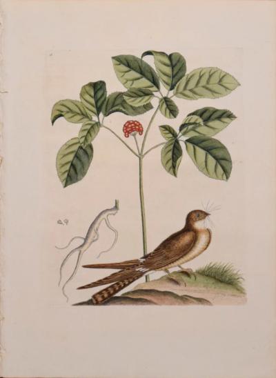
MARK CATESBY (1683-1749), T 16- THE WHIP-POOR-WILL
-
AERT SCHOUMAN (DUTCH, 1710-1792), THREE BIRDS ON A BRANCH

