Offered by:
Arader Galleries
1016 Madison Avenue
New York City, NY 10075 , United States
Call Seller
215.735.8811
Showrooms
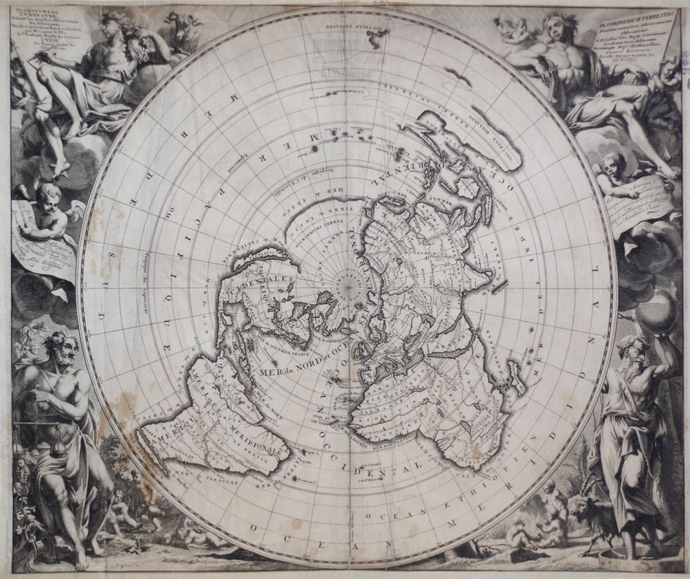
VANDER AA, PIETER (DUTCH, 1659-1733), PLANISPHERE TERRESTRE...
-
Description
Pieter Vander Aa (Dutch, 1659-1733)
Planisphere Terrestre...
From: Le Nouveau Theatre du Monde...
Published, Leiden, Pieter Vander Aa, ca. 1713
Engraving by Jan Goeree and G. Gouwen. engraving includes banners in French & Latin, also depicts California as an island
Ref: Shirley, Rodney W., The Mapping of the World: Early Printed World Maps 1472-1700, #579 -
More Information
Period: 18th Century Styles / Movements: Traditional Incollect Reference #: 599315
Message from Seller:
Founded in 1971, Arader Galleries is the leading dealer of rare maps, prints, books, and watercolors from the 16th to 19th centuries. Visit us at 1016 Madison Avenue, NYC, or contact us at 215.735.8811 | loricohen@aradergalleries.com |
More Listings from Arader Galleries View all 1350 listings
-
NEW YORK MARLBOROUGH LEG SIDE CHAIR (INV. 0017)

-
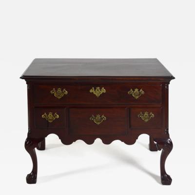
PENNSYLVANIA WALNUT TALL CHEST ON FRAME (Inv. 320)

-
DROP-LEAF OR DINING TABLE, NEWPORT, RHODE ISLAND, 1780-95 (INV. 0348)

-
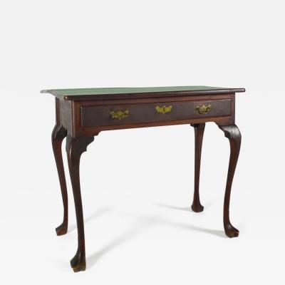
PHILADELPHIA DRESSING TABLE (INV. 0338)
-
PHILADELPHIA, 1765-80, SIDE CHAIR (INV. 0357)
-
PHILADELPHIA CARD TABLE (INV. 0301)
-
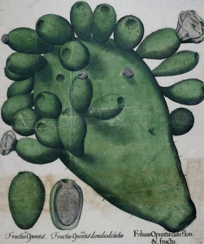
BASILIUS BESLER (1561-1629), FOLIUM OPUNTIACUM FLORE & FRUCTU
-
DELAWARE VALLEY DRESSING TABLE (INV. 0331)
-
DELAWARE VALLEY, 1760-90, DROP-LEAF OR DINING TABLE (INV. 0355)

-
VERY FINE AND RARE CHIPPENDALE CARVED AND FIGURED MAHOGANY DESK-AND-BOOKCASE

-
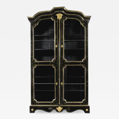
A LOUIS XIV ORMOLU-MOUNTED AND BRASS-INLAID EBONIZED BOOKCASE
-
PHILADELPHIA RACKET-BACK SIDE CHAIR (INV. 0023)

-
JEAN LOUIS PREVOST (1760-1810), PLATE 20

-
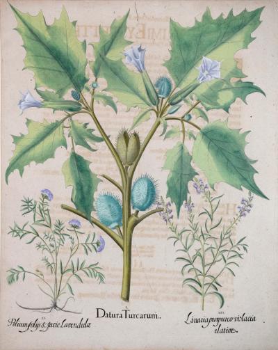
BASILIUS BESLER (1561-1629), DATURA TURCARUM