


Offered by:
The Great Republic
1 Lake Circle
Colorado Springs, CO 80906 , United States
Call Seller
719.471.6157
Showrooms
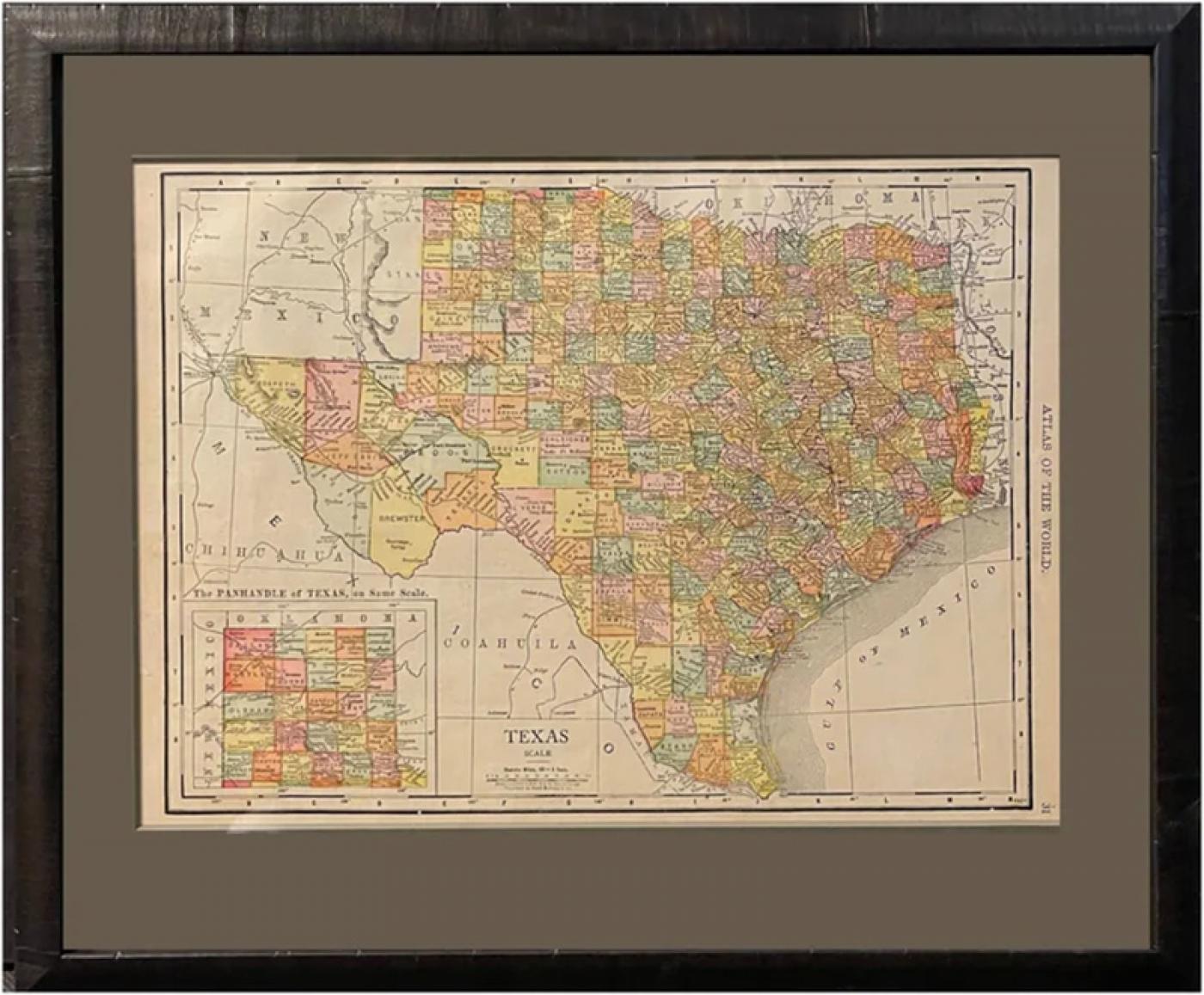
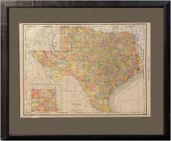
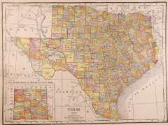
1912 "Texas" Map by Rand McNally & Co.
-
Description
Presented is a very detailed map of Texas, from Rand McNally, printed in 1912. The map is very comprehensive, colored by counties, and outlined in black. The map shows the topography, rivers, springs and lakes, cities, towns, and settlements throughout Texas. It also details the roads, completed railroads, and projected railroads that cross through the area. An inset map of the northwest Texas panhandle appears on the lower left corner.
The population of Texas grew rapidly at the end of the 19th century into the early 20th century, from 1,591,749 in 1880 to 2,235,527 by 1890 and reached 3,048,710 in 1900. The expanding population spread westward to complete settlement of the state by establishing communities on the South Plains, in the Panhandle, and beyond the Pecos River. The growth was stimulated by the development of ranching and commercial farming, which was aided by the new network of railroads criss-crossing the state. Looking at the county configurations is very telling of the burgeoning development in Texas at the time. For example, Tom Green County, once larger than the state of Massachusetts and Connecticut combined, is shown in fully divided into much smaller counties like Loving, Winkler, Ector, Ward, Crane, Upton, Midland, and Glasscock, Coke, and Sterling. Smaller towns and cities now fill in the panhandle of Texas and railroads continue all the way to El Paso, with many stops along the way. This map also shows bordering Oklahoma as a state, rather than Indian Territory.
The publisher Rand McNally began in 1856 printing train directories, travel guides, and newspapers. In 1872, the company printed its first map and soon earned significant fame for their annual atlases. Alongside atlases and newspapers, Rand McNally also produced folding guidebooks and pocketmaps. Today, the company is still around and produces many modern maps and traveling resources.
CONDITION:
Very good condition. Printed color. Clean and bright paper, with narrow margins. Issued originally in an atlas.
Framed in a custom built archival frame with acid-free mats, UV glass, and a custom wooden frame.
Framed Dimensions: 14 1/4"H x 17"W x 3/4"D.
Accompanied by our company's letter of authenticity. -
More Information
Period: 1900-1919 Condition: Good. Styles / Movements: Americana, Traditional Incollect Reference #: 800256 -
Dimensions
W. 17 in; H. 14.25 in; D. 0.75 in; W. 43.18 cm; H. 36.2 cm; D. 1.91 cm;
Message from Seller:
Established in 2010, The Great Republic specializes in one-of-a-kind collectibles that honor American history, with a special focus on the rare and unique. Our collection is complete with rarities that are sure to wow, such as first edition books, antique hand-sewn flags from the Civil War, vintage travel posters, and original signatures from American presidents, such as George Washington and Abraham Lincoln, just to name a few. P: 719.471.6157 E: headquarters@great-republic.com
More Listings from The Great Republic View all 289 listings
-
Going Solo, Signed by Roald Dahl, First Edition in Original Dust Jacket, 1986

-
Tenting on the Plains, or General Custer in Kansas and Texas, by Elizabeth B.

-
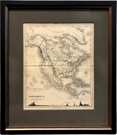
1846 "North America" Map, Engraved by I. Dower
-
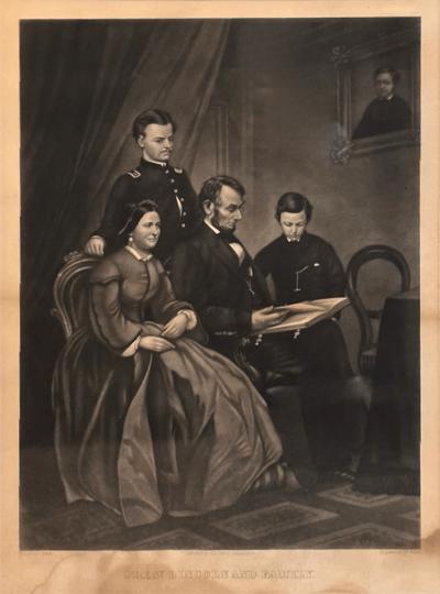
"Pres. Lincoln And Family" Engraving by A. B. Walter, after Francis Schell, 1865
-
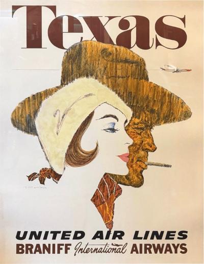
"Texas. United Air Lines. Braniff International Airways" Vintage Travel Poster
-
1864 Lincoln & Johnson Boston Union Presidential Ticket

-
Wrath in Burma by Fred Eldridge, First Edition, In Original Dust Jacket, 1946

-
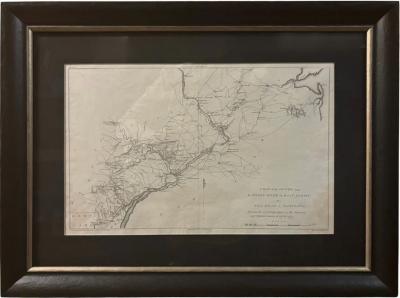
"A Map of the Country from Rariton River in East Jersey to Elk Head in Maryland"
-
Norman Rockwell: My Adventures as an Illustrator, Signed by Norman Rockwell

-
Victory Through Air Power By Major Alexander P. De Seversky

-
"Aggressive fighting for the right is the greatest sport the world affords"

-
The Old Man and the Sea by Ernest Hemingway, First Edition, 1952

-
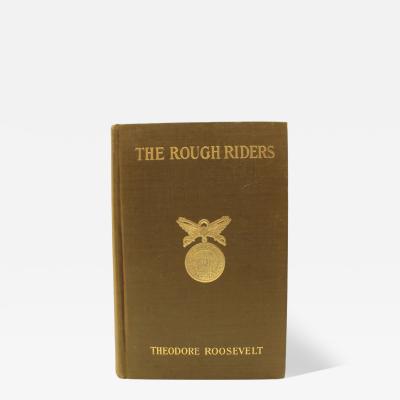
The Rough Riders by Theodore Roosevelt, First Edition, in Original Boards, 1899
-
1904 "Nell's Topographical Map of the State of Colorado"