


Offered by:
The Great Republic
1 Lake Circle
Colorado Springs, CO 80906 , United States
Call Seller
719.471.6157
Showrooms
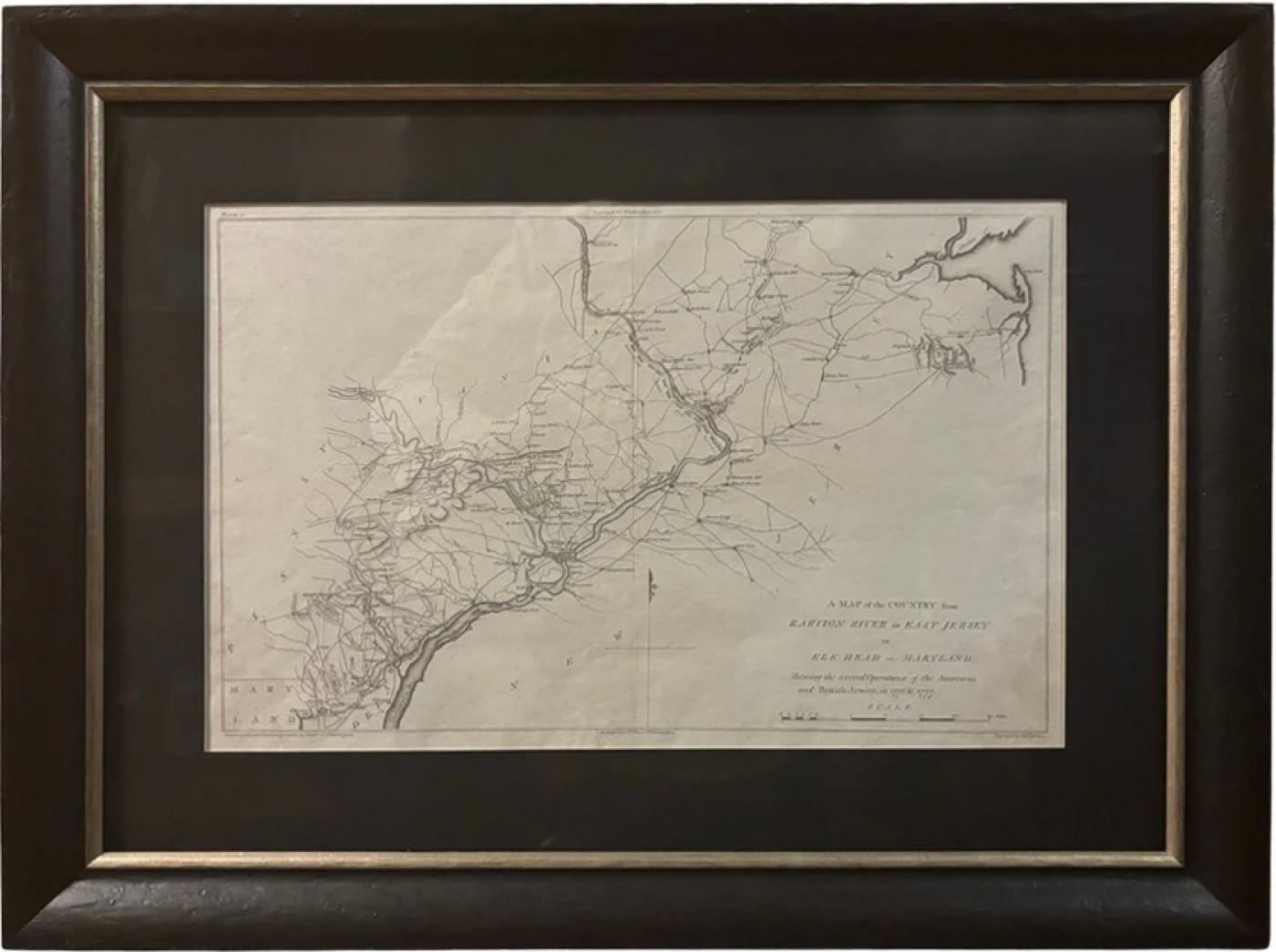
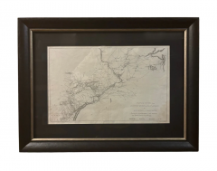
"A Map of the Country from Rariton River in East Jersey to Elk Head in Maryland"
-
Description
Presented is “A Map of the Country from Rariton River in East Jersey to Elk Head in Maryland, Shewing the several Operations of the American and British Armies, in 1776 & 1777.” The map was issued in the 1807 atlas accompanying the first edition of John Marshall's The Life of George Washington, published in Philadelphia by C.P. Wayne. The map was drawn by Samuell Lewis, from surveys made by orders of George Washington, and was engraved by J. H Seymour.
The map shows British and American troop movements, encampments, and forts along the Delaware River, highlighting the Revolutionary War battles in the Mid Atlantic theater. The battles of Trenton, Brandywine, Germantown, Paoli, Princeton, and Mammoth are all indicated, among others. Key rivers and important roads leading to and from major cities like Philadelphia and Wilmington are also noted throughout the map.
CONDITION:
Good condition with full margins. Original plate mark visible. Paper is healthy, with uneven edges. Center fold line visible. Map Dimensions: 9 1/2" H by 15 3/4" W.
The map has been archivally framed with acid free mat, UV glass, and a custom built wooden frame with gold spandrel.
Framed Dimensions: 17 1/8" H x 23" W x 1 1/2" D.
Accompanied by our company's letter of authenticity. -
More Information
Documentation: Certificate of Authenticity Period: 19th Century Condition: Good. Styles / Movements: Americana, Traditional Incollect Reference #: 800253 -
Dimensions
W. 23 in; H. 17.125 in; D. 1.5 in; W. 58.42 cm; H. 43.5 cm; D. 3.81 cm;
Message from Seller:
Established in 2010, The Great Republic specializes in one-of-a-kind collectibles that honor American history, with a special focus on the rare and unique. Our collection is complete with rarities that are sure to wow, such as first edition books, antique hand-sewn flags from the Civil War, vintage travel posters, and original signatures from American presidents, such as George Washington and Abraham Lincoln, just to name a few. P: 719.471.6157 E: headquarters@great-republic.com
More Listings from The Great Republic View all 292 listings
-
Jack Nicklaus and Arnold Palmer Signed Collage

-
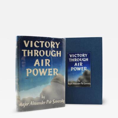
Victory Through Air Power By Major Alexander P. De Seversky
-
Wrath in Burma by Fred Eldridge, First Edition, In Original Dust Jacket, 1946

-
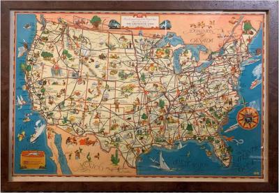
A Good-Natured Map of the United States
-
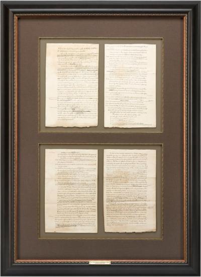
1829 "Declaration of Independence" Draft, Engraved by Charles Toppan
-
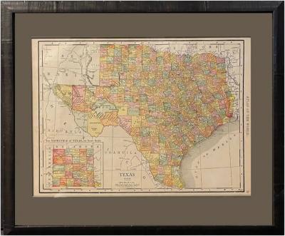
1912 "Texas" Map by Rand McNally & Co.
-
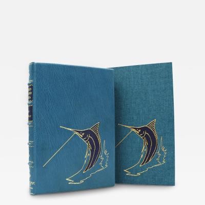
The Old Man and the Sea by Ernest Hemingway, First Edition, 1952
-
"Atlas to Accompany Monograph XXXII on the Geology of Yellowstone National Park"

-
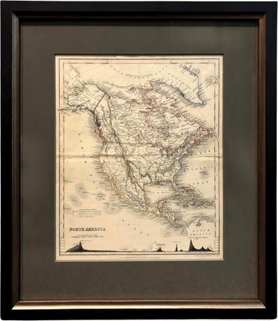
1846 "North America" Map, Engraved by I. Dower
-
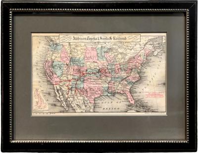
"General Map of the United States Showing the Lines of the Atchison
-
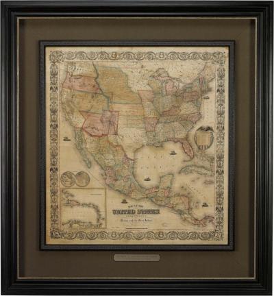
Map of the United States, with its Territories; also Mexico and the West Indies
-
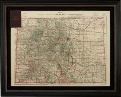
1904 "Nell's Topographical Map of the State of Colorado"
-
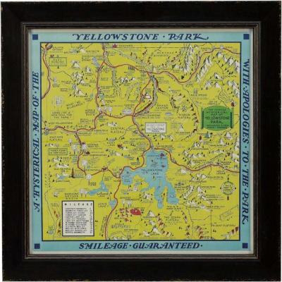
A Hysterical Map of Yellowstone National Park by Jolly Lindgren, 2nd Ed Printing
-
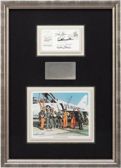
Mercury Seven Signature Collage