


Offered by:
The Great Republic
1 Lake Circle
Colorado Springs, CO 80906 , United States
Call Seller
719.471.6157
Showrooms
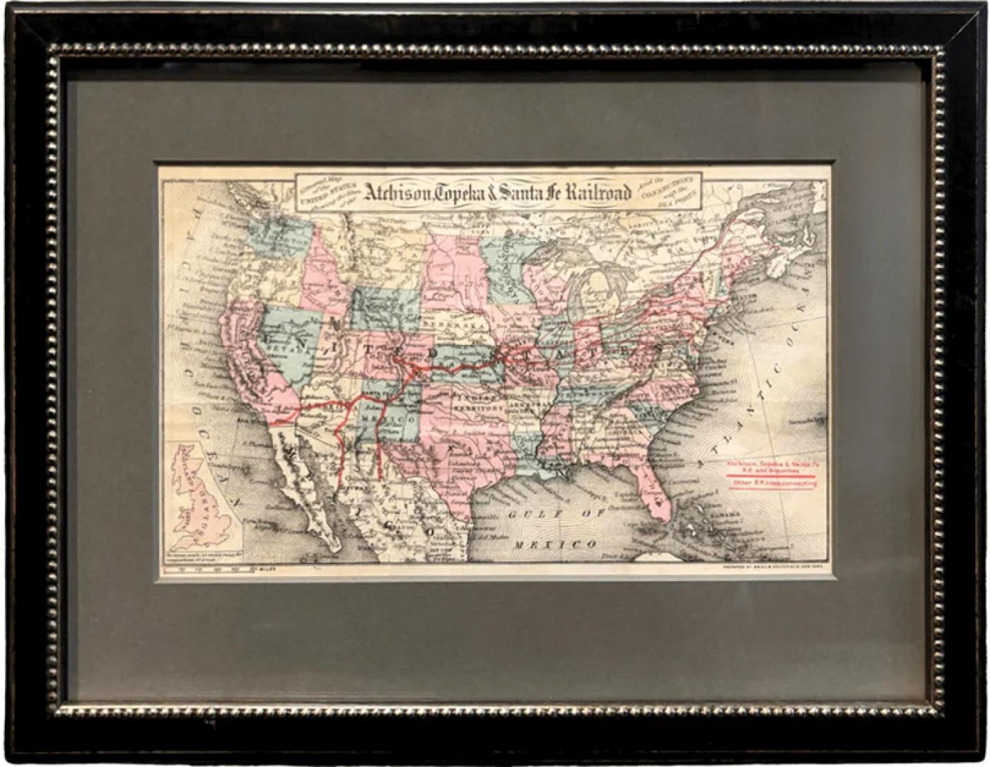
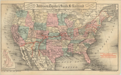
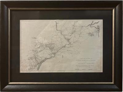
"General Map of the United States Showing the Lines of the Atchison
-
Description
Presented is an original "General Map of the United States Showing the Lines of the Atchison, Topeka & Santa Fe Railroad and Its Connections with the Sea Ports". Undated, this map was published in New York by G.W. & C.B. Colton, circa 1879. This small, folding map of the United States highlights various railroad routes of the Atchison, Topeka & Santa Fe Railroad in bright red, extending from east coast ports like Halifax, Boston, New York and Philadelphia to St. Louis, Chicago, and Atchison, Lead Valley and Pueblo in Colorado, extending into the Southwest with Santa Fe, San Diego, and ending in the Mexican cities of Guaymas and Chihuahua. It includes a small inset map of Britain at the bottom left, drawn to scale for sheer size comparison.
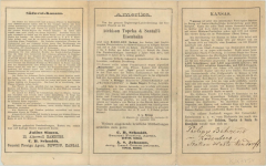
The verso of the map features three panels of German text titled "Amerika," marketing settlement to the rich agricultural lands of southwest Kansas owned by the railroad. One section of text states that “Kansas should be called ‘Mesopotamia’ because of its fertility, and its rivers, Kansas and Arkansas, the ‘Euphrates’ and ‘Tigris’, should indeed be called one of the pearls of North America, and whoever has once visited them must join in the general praise of Kansas' agricultural conditions." Another section boasts that “the Atchison, Topeka, and Santa Fe Railroad is the facilitator of a magnificent traffic route between the mining regions of the Rocky Mountains and the great breadbasket of the continent. It runs through the richest regions of Kansas and connects them with the silver and gold-producing mountains, where the products of Kansas farms find a profitable market.” The Santa Fe railroad actively and successfully promoted settlement in Kansas among German communities in Europe, with maps and pamphlets just like this one.
Founded in 1859, the Atchison, Topeka and Santa Fe Railway was created to connect the Kansas frontier town of Atchison with the growing trade routes of the American Southwest. But what began as a regional railroad soon became one of the largest and most influential railroads in the United States, stretching from the Midwest to the Pacific. The Santa Fe Railway forged paths into previously inaccessible regions, bringing infrastructure, settlers, and commerce to the American West. Unlike other railroads that primarily served established cities, the Santa Fe created new towns just by laying track across vast, unsettled land. It gave rise to dozens of communities and helped make states like New Mexico, Arizona, and California more accessible and economically viable.
The Santa Fe railway was a powerful engine of economic change- transporting cattle, minerals, lumber, and agricultural products from the West to markets in the East and Midwest. It played a critical role in the cattle boom of Texas and Oklahoma and helped turn the arid lands of the Southwest into productive agricultural hubs through irrigation efforts. The Santa Fe made it possible for small frontier settlements to connect with national markets. The resulting economic growth reshaped not only the Western states, but the national economy as a whole.
CONDITION:
Very good condition. Issued folding, with light creasing along fold lines as expected. Engraving with original handcoloring, in light water color wash of pink, green, yellow. With red overprinting, marking railroad routes. Small inset map of England, Scotland, and Wales at bottom left. Publisher’s line, “Prepared by G.W. & C.B. Colton & Co. New York,” printed at bottom right margin. Minor toning and small stain at top. Verso has three printed panels of German text, with pen inked inscription at bottom right “Philipp Behrene, aus Rodenberg, Station Haste Nendorft.” Map Dimensions: 5.2” H x 8.9” W.
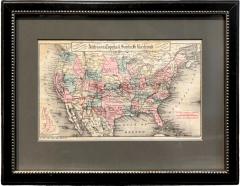
Archivally framed, with acid-free dark mats, UV glass, and custom wooden frame with gold beaded spandrel.
Framed Dimensions: 9 3/4"H x 12 7/8"W x 5/8"D.
Accompanied by our company's letter of authenticity. -
More Information
Period: 19th Century Condition: Good. Styles / Movements: Americana, Traditional Incollect Reference #: 800252 -
Dimensions
W. 12.875 in; H. 9.75 in; D. 0.625 in; W. 32.7 cm; H. 24.77 cm; D. 1.59 cm;
Message from Seller:
Established in 2010, The Great Republic specializes in one-of-a-kind collectibles that honor American history, with a special focus on the rare and unique. Our collection is complete with rarities that are sure to wow, such as first edition books, antique hand-sewn flags from the Civil War, vintage travel posters, and original signatures from American presidents, such as George Washington and Abraham Lincoln, just to name a few. P: 719.471.6157 E: headquarters@great-republic.com
More Listings from The Great Republic View all 292 listings
-
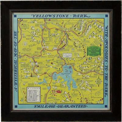
A Hysterical Map of Yellowstone National Park by Jolly Lindgren, 2nd Ed Printing
-
"Atlas to Accompany Monograph XXXII on the Geology of Yellowstone National Park"

-
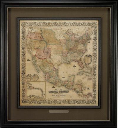
Map of the United States, with its Territories; also Mexico and the West Indies
-
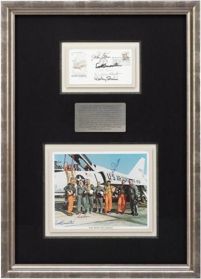
Mercury Seven Signature Collage
-
"A Map of the Country from Rariton River in East Jersey to Elk Head in Maryland"
-
Wrath in Burma by Fred Eldridge, First Edition, In Original Dust Jacket, 1946

-
Jack Nicklaus and Arnold Palmer Signed Collage

-
The Old Man and the Sea by Ernest Hemingway, First Edition, 1952
-
1829 "Declaration of Independence" Draft, Engraved by Charles Toppan
-
1904 "Nell's Topographical Map of the State of Colorado"
-
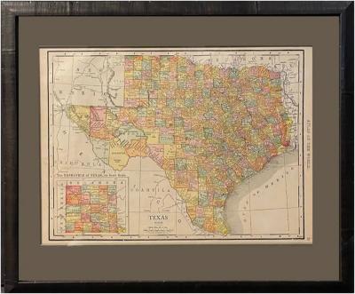
1912 "Texas" Map by Rand McNally & Co.
-
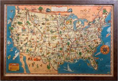
A Good-Natured Map of the United States
-
Victory Through Air Power By Major Alexander P. De Seversky

-
1846 "North America" Map, Engraved by I. Dower